Drone Aviation Wx

Drone Aviation Wx

Supporting Drone Operations with High-Resolution Weather Forecast Data

Delivering detailed and highly reliable data to enable Level 4 Beyond Visual Line of Sight (BVLOS)

drone operations over populated areas

Supporting Drone Operations with High-Resolution Weather Forecast Data

Delivering detailed and highly reliable data to enable Level 4

Beyond Visual Line of Sight (BVLOS)

drone operations over populated areas

Challenge icon

For safe flights, We would like to check upper-level weather conditions in high resolution

To operate drones safely, it is essential to have a detailed understanding of weather, wind, and temperature conditions in the flight area.
Available solutions

WWeathernews for Business Drone Package Service

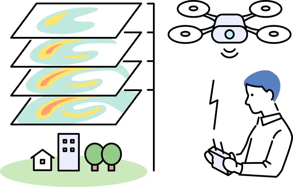
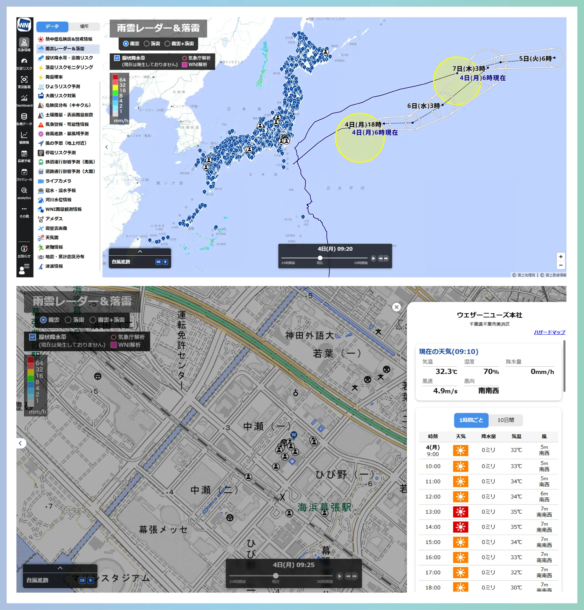
With high-resolution weather forecasts on a 250-meter mesh, you can check detailed wind direction, wind speed, and temperature up to 150 meters above ground level.From departure to arrival, we support your operations by providing forecasts for any location along your planned route.
Key Benefits

Pinpoint weather forecasts for any location

High-resolution pinpoint forecasts are available for any location across Japan by simply selecting a point on the map.
If forecast values exceed certain thresholds, alerts are visually displayed on the screen using cautionary or warning colors,, helping you make informed decisions on whether to proceed with the operation or adjust your route.
Key Benefits

Cloud base and visibility can also be checked for any selected location

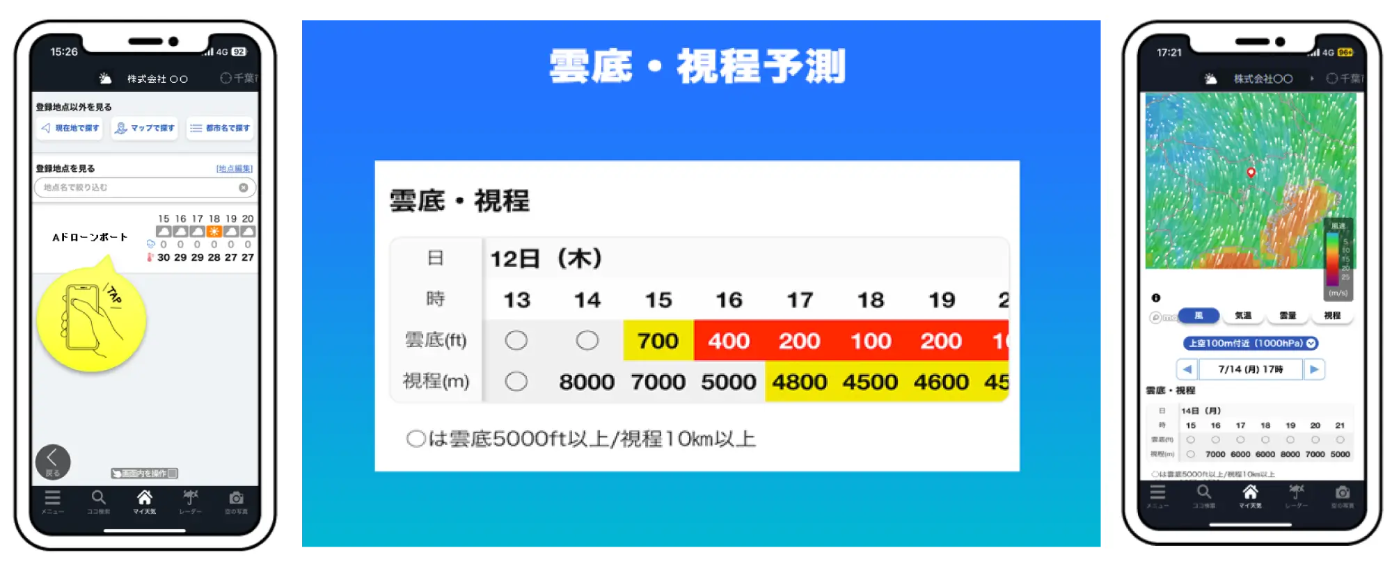
Cloud base and visibility can also be checked for any location selected on the map.
If forecasts indicate cloud base or visibility falling below defined thresholds, alerts will appear on the screenusing cautionary or warning colors, supporting decision-making on whether to proceed with operations on the day

Recommended Solutions for drone operations

Weathernews for business
Soratena Pro®︎

drone operations concerns
- Contact us for details

Challenge icon

We would like to incorporate weather information necessary for operations into our company's system

When using drones for business purposes, it is common for companies to build and operate their own drone flight management systems

Available solutions

Weathernews’ WxTech Data Service

We offer a variety of meteorological data via API. We also provide weather data specialized for drone operations, enabling flexible use tailored to your business needs. Please feel free to make use of our services

Key Benefits

Drone-specific API data available

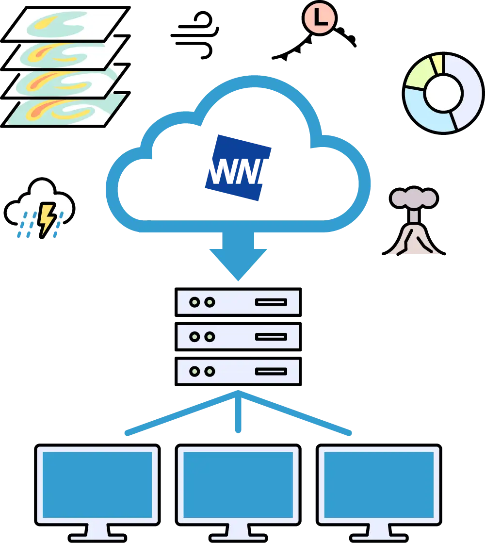
High-resolution weather forecast data on a 250-meter mesh, as well as real-time analysis data from ground level to upper air, are available via API integration

Recommended Solutions weather data provision for drones

WxTech®️Data

weather data for drones concerns
- Contact us for details

Challenge icon

We would like to know the meteorological conditions at the aerodrome in real time

Observation points for actual weather conditions are located approximately every 20km. Since drone take-off and landing sites are often at arbitrary locations, real-time meteorological observations at the actual take-off and landing sites and within the flight area are required.

Available solutions

Weathernews’ aerodrome meteorological observation service

We provide pinpoint observations of wind and other meteorological elements at the installation site, supporting operational decision-making

Key Benefits

Solve challenges with high-performance IoT sensor 'Soratena Pro'

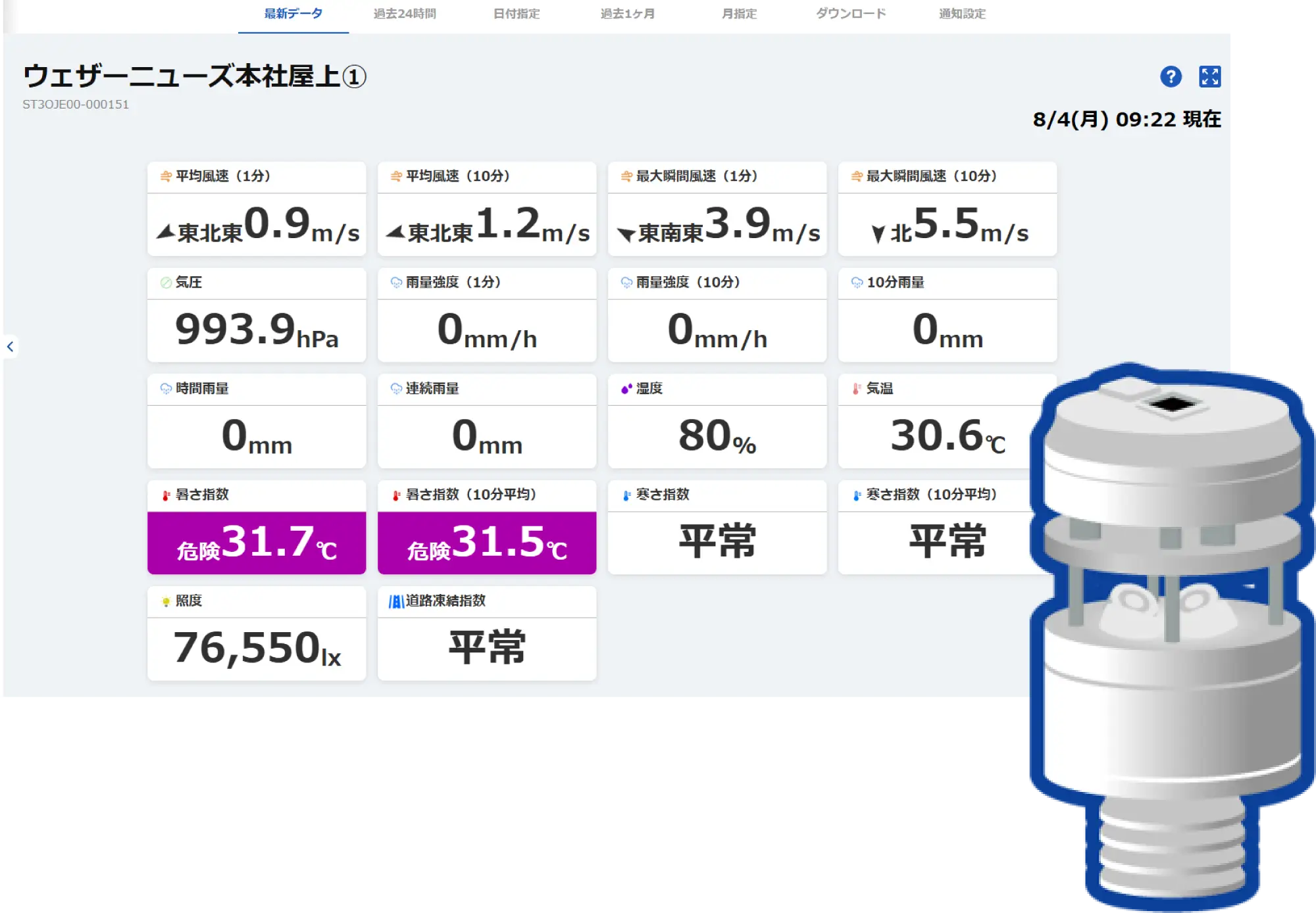
Soratena Pro can observe temperature, atmospheric pressure, rainfall, wind speed, wind direction, and other parameters in real-time. Even for drone operations outdoors where there are no observation stations, it is possible not only from a safety perspective but also to investigate flight risk based on historical statistics.

Recommended Solutions for drone operations

Weathernews for business
Soratena Pro®︎

drone operations concerns
- Contact us for details