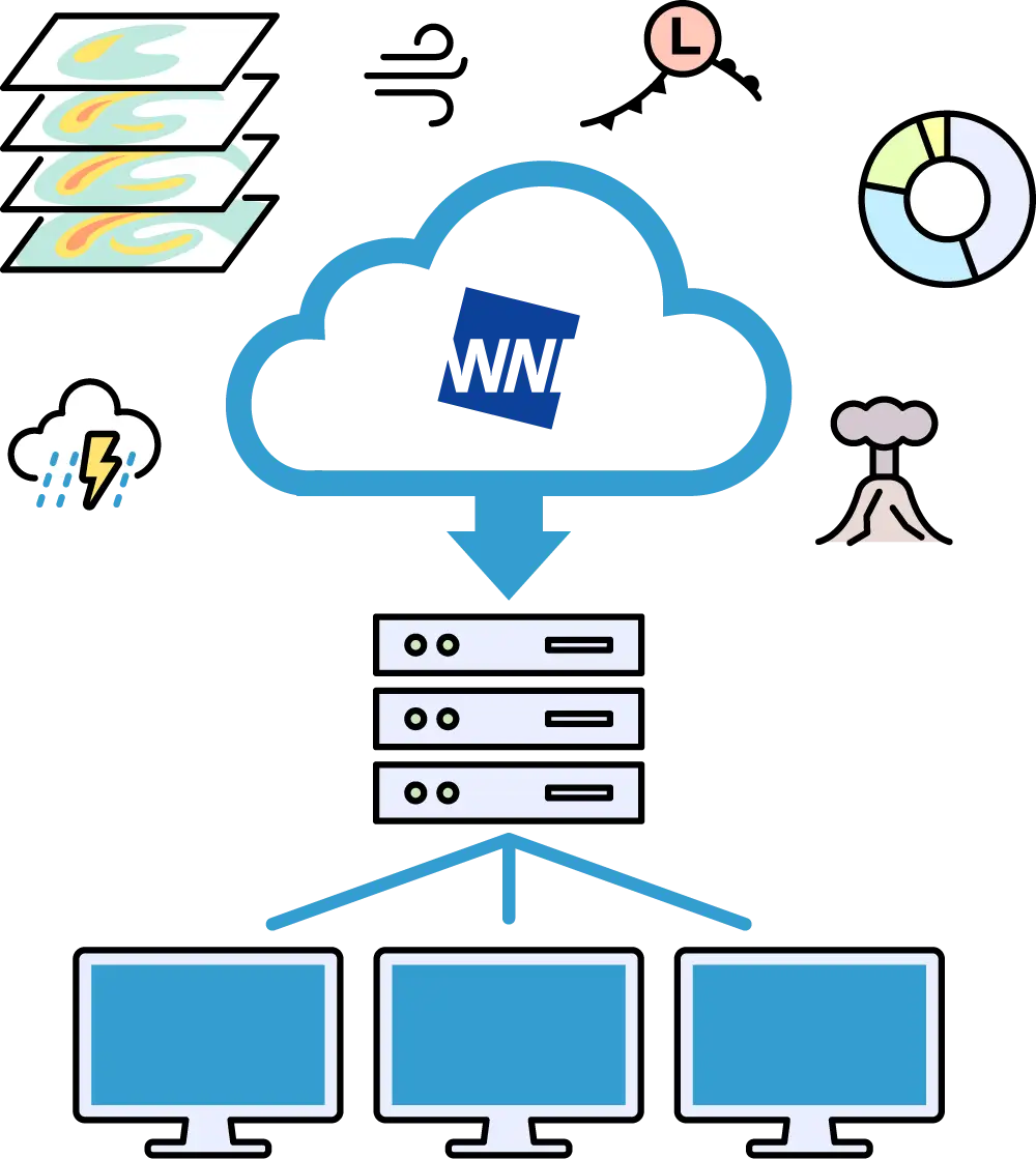
For safe flights, We would like to check upper-level weather conditions in high resolution
To operate drones safely, it is essential to have a detailed understanding of weather, wind, and temperature conditions in the flight area.

WWeathernews for Business Drone Package Service
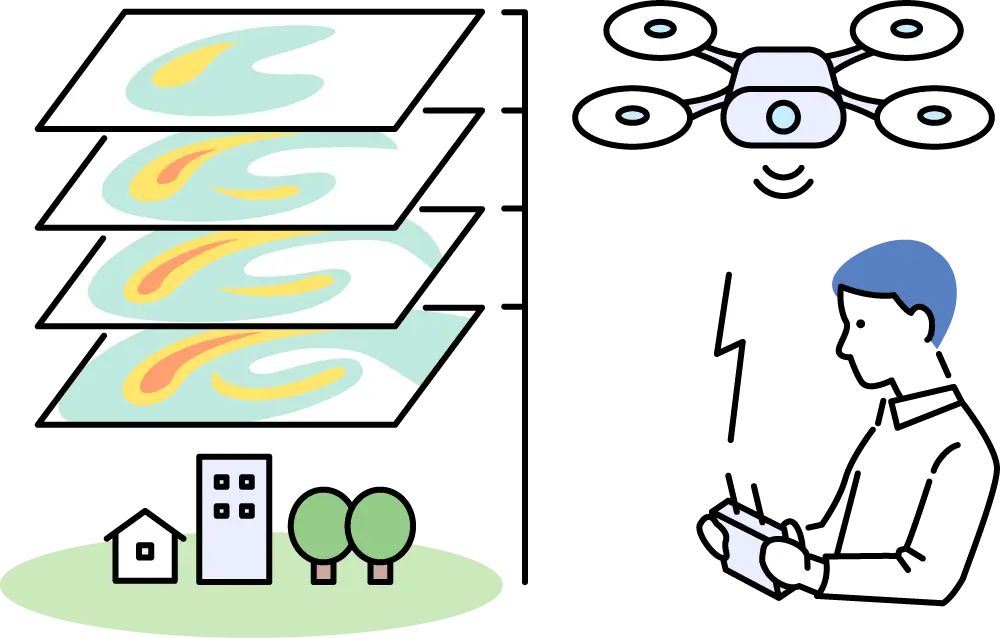
With high-resolution weather forecasts on a 250-meter mesh, you can check detailed wind direction, wind speed, and temperature up to 150 meters above ground level.From departure to arrival, we support your operations by providing forecasts for any location along your planned route.
Key Benefits
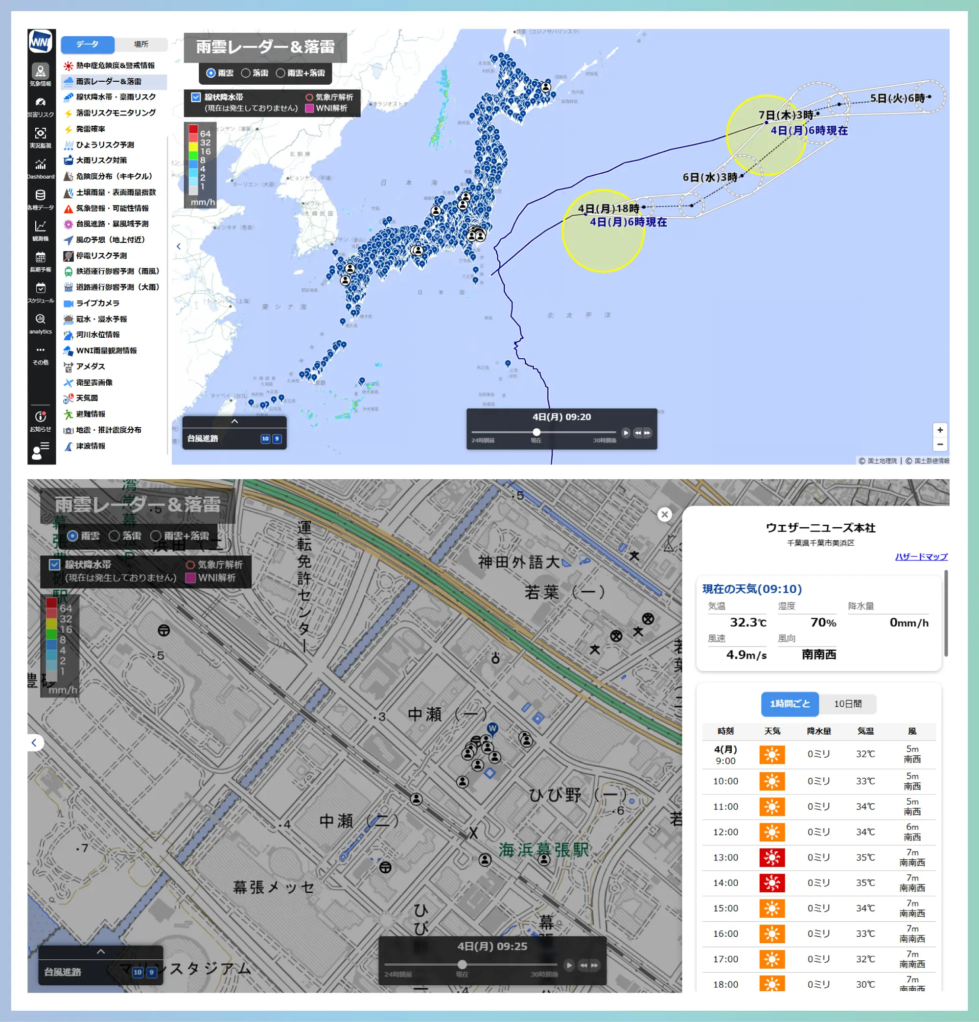
Pinpoint weather forecasts for any location
High-resolution pinpoint forecasts are available for any location across Japan by simply selecting a point on the map.
If forecast values exceed certain thresholds, alerts are visually displayed on the screen using cautionary or warning colors,, helping you make informed decisions on whether to proceed with the operation or adjust your route.
Key Benefits
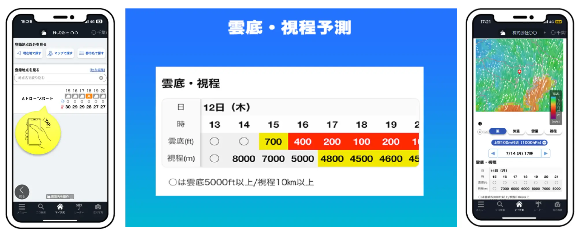
Cloud base and visibility can also be checked for any selected location
Cloud base and visibility can also be checked for any location selected on the map.
If forecasts indicate cloud base or visibility falling below defined thresholds, alerts will appear on the screenusing cautionary or warning colors, supporting decision-making on whether to proceed with operations on the day


