Current Situation
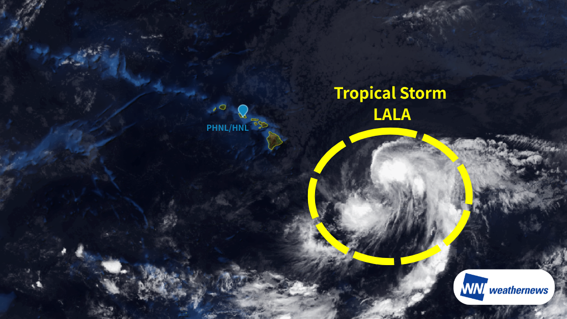
Tropical Storm LALA, which formed over the Pacific, was located about 600 nautical miles southeast of Hilo, Hawaii Island, as of 18Z (UTC) on August 13, continuing to track west-northwest. The central pressure is 1000 hPa, with maximum sustained winds near the center of 40 kt and maximum gusts of 60 kt.
Outlook
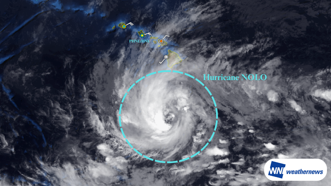
The storm is expected to track in an almost straight line from the southeast toward the west-northwest through August 18. It will pass south of the Hawaiian Islands, with its gale-force wind radius expanding as it makes its closest approach around August 15–16. It is then expected to continue moving northwest while maintaining a wide gale-force wind area from August 17 to 18, with further intensification expected.
Forecast for Daniel K. Inouye International Airport (PHNL/HNL)
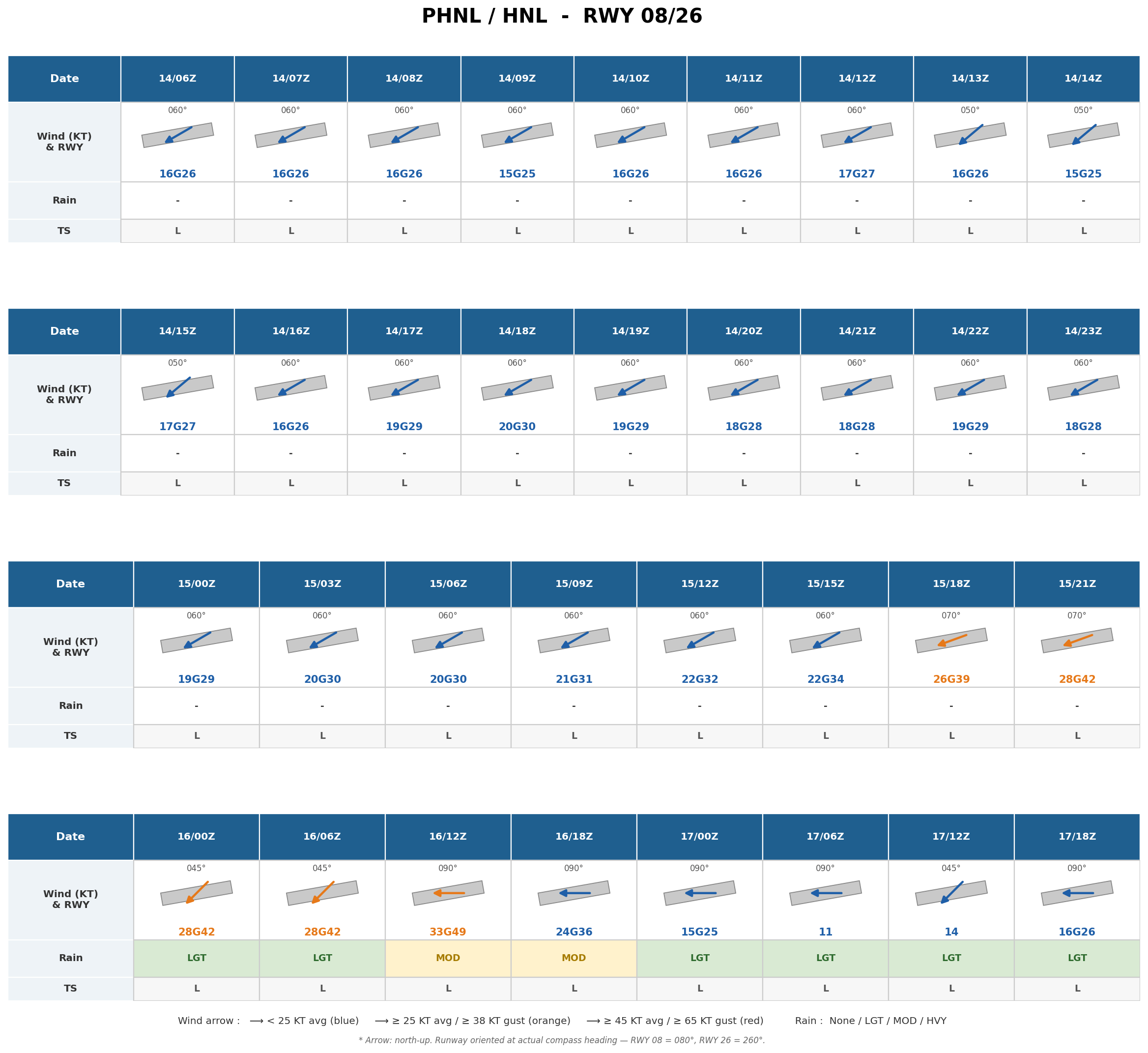
At the airport, average wind speeds are expected to remain at 20 kt or higher from 03Z on August 15, exceeding 25 kt from around 18Z on August 15 as the storm approaches. The strongest impact is expected around 12–18Z on August 16, with average winds exceeding 30 kt, gusts approaching 50 kt, and moderately heavy rain. As the storm moves away, wind speeds are expected to drop below 20 kt from 00Z on August 17 onward, with impacts on the airport gradually easing.
Important Notes
Typhoon track, intensity, and wind speed forecasts at the time of closest approach may change. Please continue to monitor the latest typhoon information, airport forecasts, and operational updates.
For more timely and detailed information on typhoons and tropical disturbances, please visit SkyAviators, the aviation decision-support tool for airline operators. Learn more about "SkyAviators"
This article is provided for reference purposes only. Specific flight operation support information is provided exclusively through our paid aviation services. Weathernews Inc. assumes no responsibility for any operational decisions made based on this article, or for any losses or damages resulting therefrom.