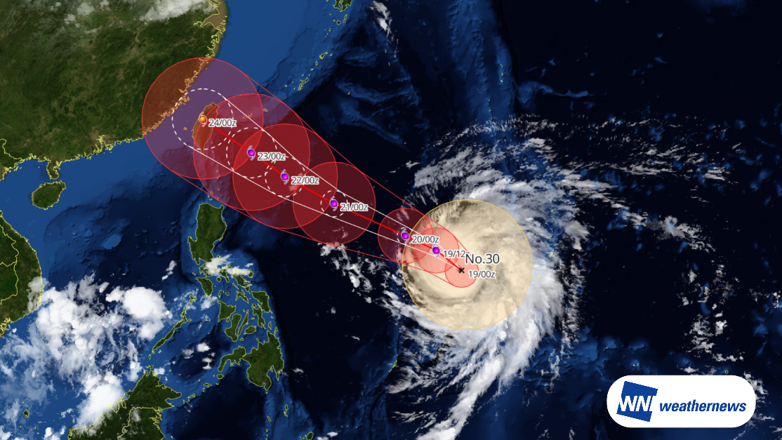










Current Status
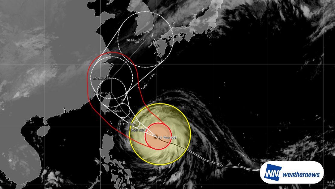
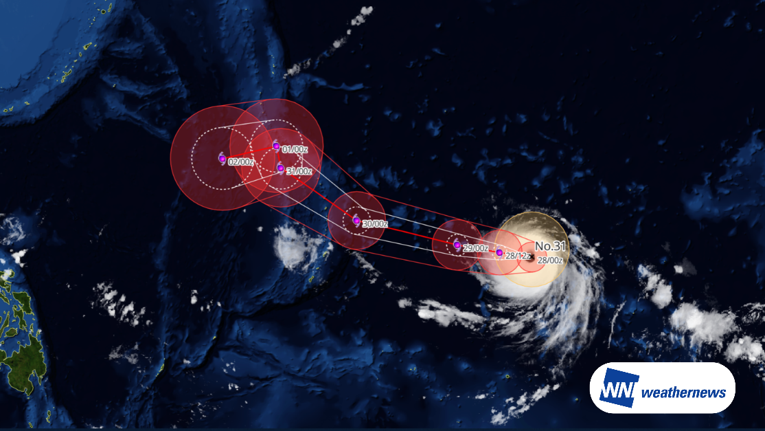
According to information issued by the Japan Meteorological Agency (JMA) at 09:45 JST on October 28, 2026, Very Strong Typhoon IN-FA (Typhoon No. 31) was located in the Marshall Islands area (14.9°N, 159.9°E) as of 09:00 JST on October 28, moving westward at 7 knots. The central atmospheric pressure is 945 hPa, with maximum sustained winds near the center of 100 knots and peak gusts reaching 140 knots.
Future Track Outlook
Typhoon IN-FA is forecast to intensify into a Violent typhoon as it tracks west-northwestward. It is expected to pass north of the Northern Mariana Islands between October 30 and October 31, and reach waters near the Ogasawara Islands as a Very Strong typhoon on November 1.
Forecast for Saipan International Airport (PGSN/SPN)
Because the typhoon's track remains somewhat distant from airports in the Northern Mariana Islands, direct operational impacts are expected to be limited.
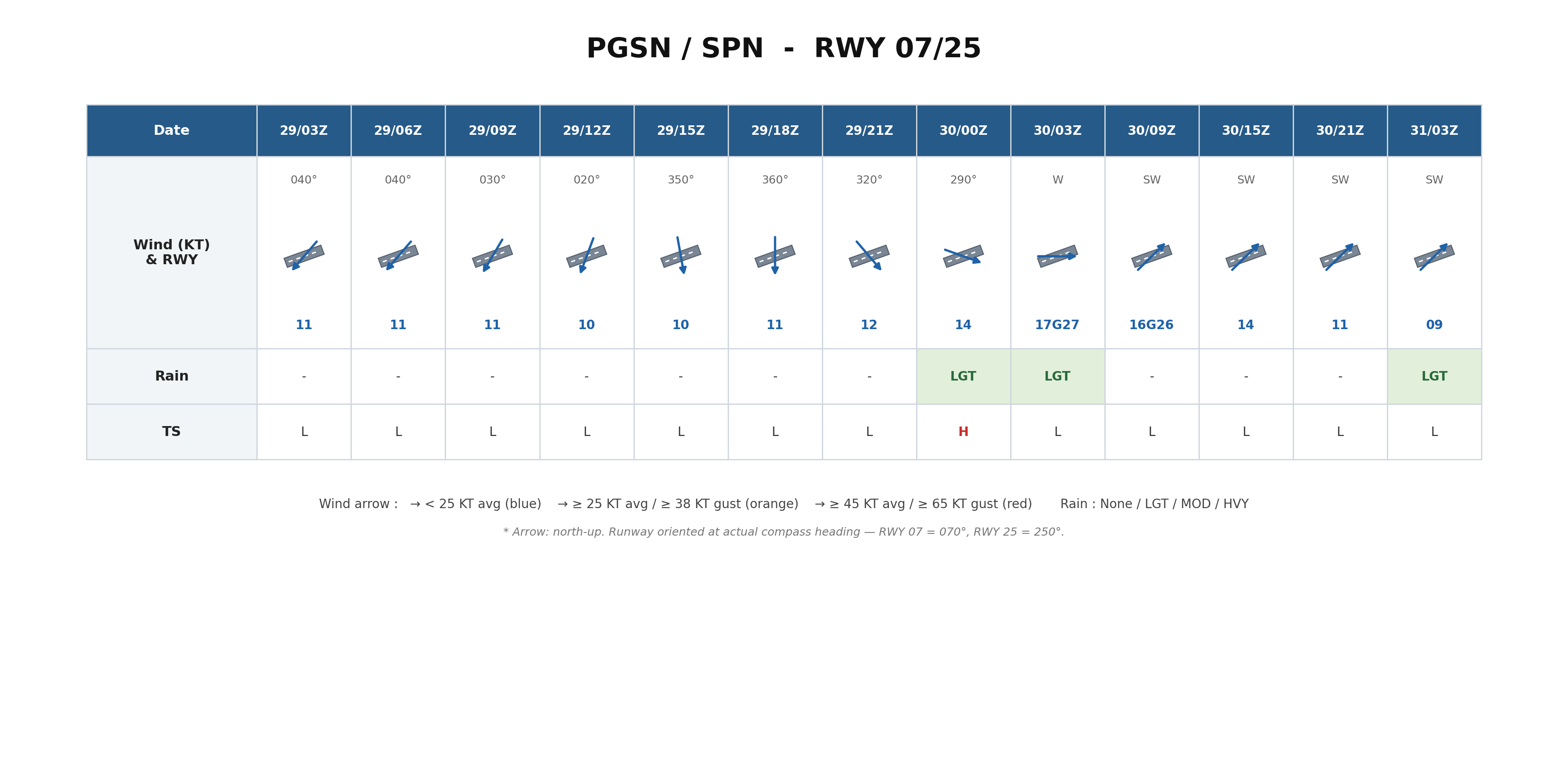
The closest international airport is Saipan International Airport (PGSN/SPN). Around October 30 between 03:00Z and 15:00Z (UTC), average sustained wind speeds are expected to reach around 15 knots, with maximum gusts potentially exceeding 25 knots. In addition, crosswind components on the runway may exceed 10 knots between 09:00Z and 15:00Z on October 30.
Looking Ahead
Typhoon track, intensity, and wind speed forecasts at the time of closest approach may change. Please continue to monitor the latest typhoon information, airport forecasts, and operational updates.
For more timely and detailed information on typhoons and tropical disturbances, please visit SkyAviators, the aviation decision-support tool for airline operators. Learn more about "SkyAviators"
Disclaimer
This article is provided for informational purposes only. Flight-specific operational support is provided exclusively through our commercial services for aviation operators. Weathernews Inc. assumes no liability for operational decisions made based on this article, or for any losses or damages arising therefrom.