








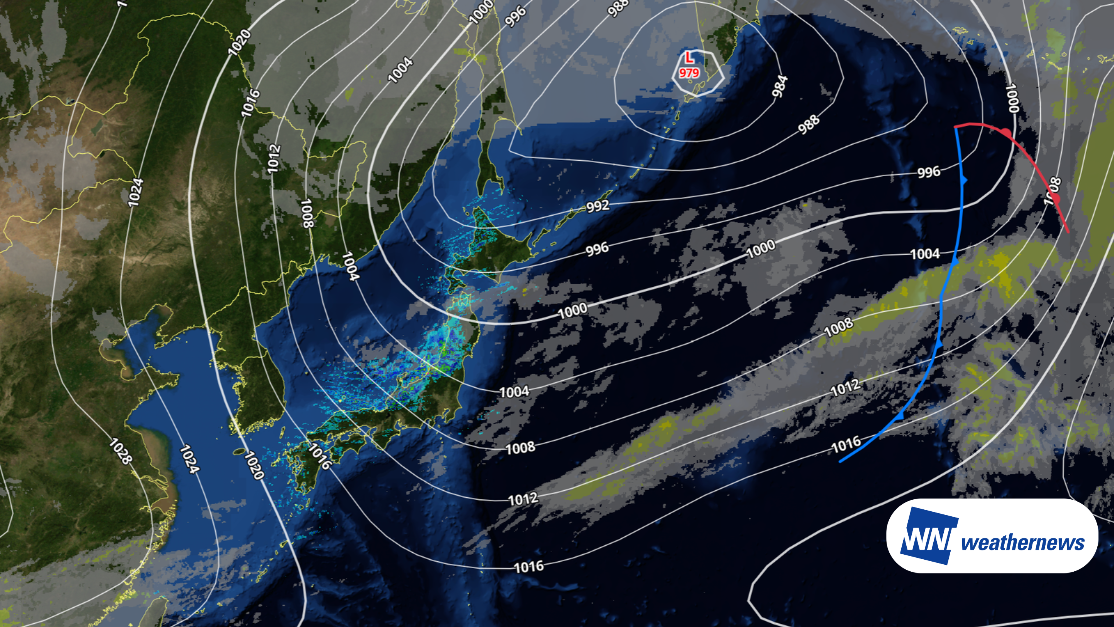
A low pressure system over the Sea of Okhotsk has reached its peak of development, while a high pressure system is extending from the continent. As a result, a strong winter pressure pattern is in place across Japan. Cold air will peak today, November 20, and snow clouds are forming one after another over the Sea of Japan, bringing snowfall mainly to the Sea of Japan side of Hokkaido.
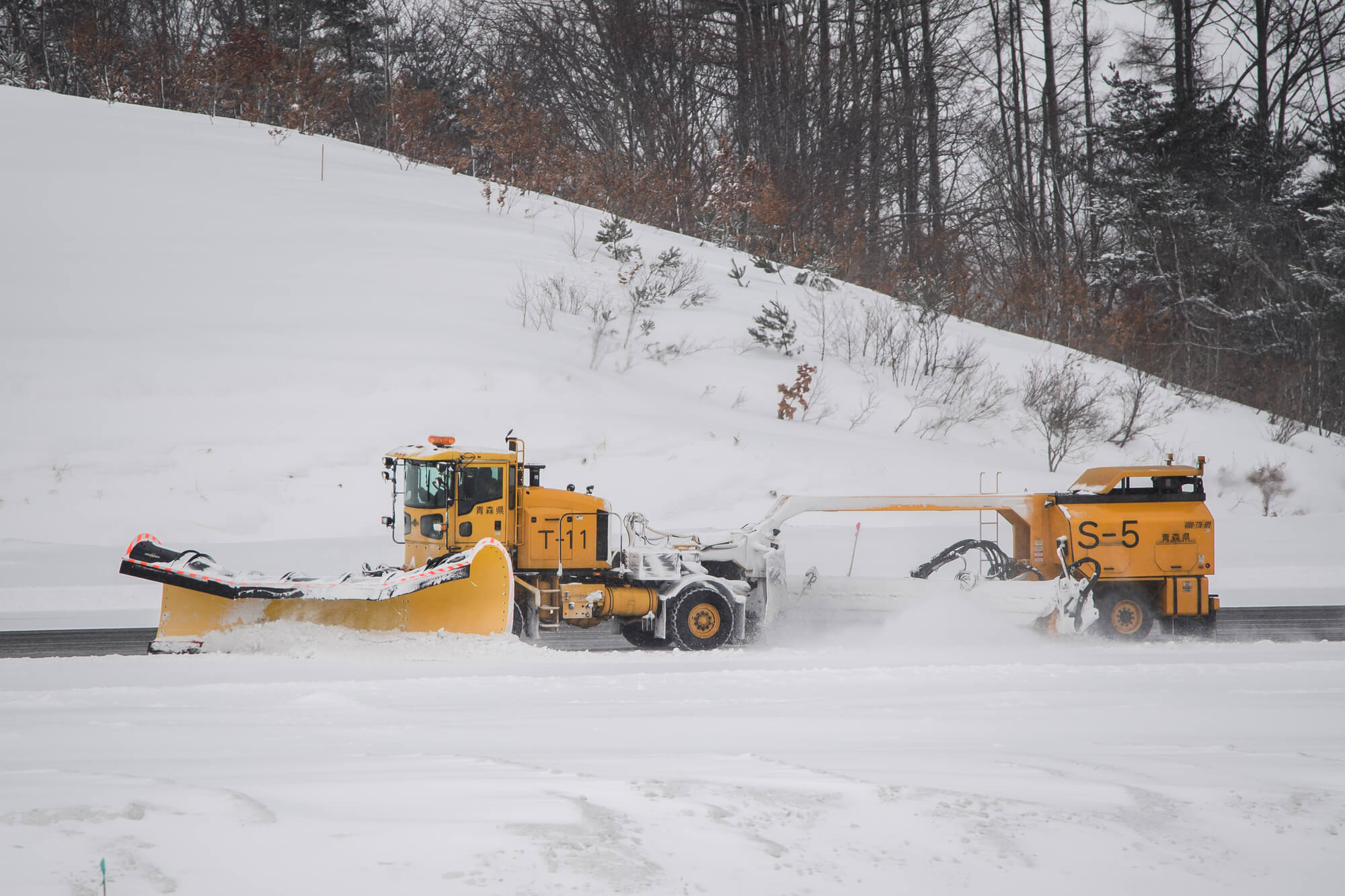
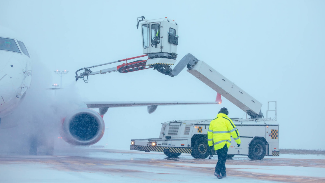
Snow and strong winds could also affect airports in the area.
New Chitose Airport (RJCC/CTS)
At New Chitose Airport, visibility is expected to remain relatively good during the daytime today, November 20, but snow is forecast to intensify from the night into the morning of November 21. Visibility may temporarily drop to around 6,000 meters in the afternoon today and is expected to recover at night. However, snow will intensify in the early hours of November 21, with visibility dropping to around 600 meters by around 3 a.m. Visibility may remain at around 1,000 meters until about 8 a.m. After that, it is expected to gradually improve and exceed 6,000 meters in the afternoon.
Asahikawa Airport (RJEC/AKJ)
Looking at conditions around the airport, snow is expected to continue at Asahikawa Airport, mainly during the daytime today. In the morning, strong southwesterly winds exceeding 15 knots are expected, with visibility around 2,000 meters. Snow is expected to intensify in the afternoon, with visibility dropping to around 800 meters by around 3 p.m. Visibility is then expected to gradually improve into the night. On the morning of November 21, visibility may temporarily reach 4,800 to 6,000 meters, but snow may fall intermittently during the daytime as well.
Hakodate Airport (RJCH/HKD)
At Hakodate Airport, snow and strong winds are expected to have a major impact from today, November 20, through the early morning of November 21. Westerly winds of 15 to 20 knots are expected, with gusts of up to 30 knots at times. Snow will intensify from the evening today, with visibility forecast to drop to around 800 meters by around 5 p.m. Snow will continue into the night and early morning of November 21, with visibility falling to 600 meters around 6 a.m. Afterward, the snow is expected to ease, and visibility is forecast to recover to more than 6,000 meters by the late morning.
The winter pressure pattern is expected to continue through November 21. At Hokkaido airports, snowfall and low visibility may affect takeoffs and landings. For flight operations, it is important to check the latest weather information, visibility and wind conditions at each airport.
For detailed weather information on airports around the world, please refer to SkyAviators, our decision-support tool for aviation operators. Learn more about "SkyAviators"
Disclaimer
This article is provided for reference only. Specific operational support for individual flights is available only through our paid services for aviation operators. Weathernews Inc. assumes no responsibility for operational decisions made based on this article or for any losses or damages arising from them.