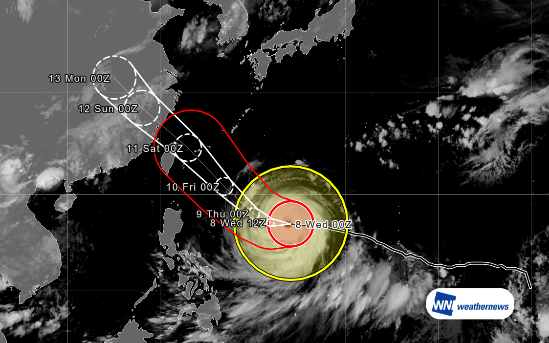
Current Location and Forecast Track
According to the Japan Meteorological Agency (JMA), as of 16:00 on June 1, Typhoon No. 6 (Jangmi) was estimated to be 80 km southwest of Naha (25°40'N, 127°10'E). The storm has a central pressure of 975 hPa and is moving north at 20 km/h.
It is expected to continue north near Okinawa before turning northeast, tracking along the southern coast of Honshu from western to eastern Japan. Depending on its exact path and development, the storm could impact flights and airport operations across various regions.
Regional Impact Timeline for Major Airports
Forecast models show that weather impacts on Honshu will begin the afternoon of June 2, peaking on June 3. The expected timeline for each region and its major airports is as follows:
| Region | Major International Airports | Initial Impact | Potential for Significant Delays/Cancellations | Weather Recovery |
|---|---|---|---|---|
| Chugoku | Hiroshima (HIJ / RJOA) Okayama (OKJ / RJOB) | Afternoon, June 2 | - | From morning, June 3 |
| Kinki | Kansai (KIX / RJBB) | Night, June 2 | Morning, June 3 | From morning, June 4 |
| Tokai | Chubu (NGO / RJGG) | Morning, June 3 | Morning to afternoon, June 3 | From morning, June 4 |
| Kanto | Narita (NRT / RJAA) Haneda (HND / RJTT) | Morning, June 3 | Afternoon, June 3 | From morning, June 4 |
| Hokuriku | Komatsu (KMQ / RJNK) Niigata (KIJ / RJSN) | Morning, June 3 | - | From afternoon, June 3 |
| Tohoku | Sendai (SDJ / RJSS) Aomori (AOJ / RJSA) | Morning, June 3 | - | From morning, June 4 |
Outlook for Flight Operations
Severe weather will cover a broad area of Honshu from the night of June 2 through June 3, raising concerns for major schedule disruptions and aircraft routing issues. Early schedule adjustments and prioritizing ground safety are necessary. Weather conditions across most of Honshu are expected to improve by June 4.
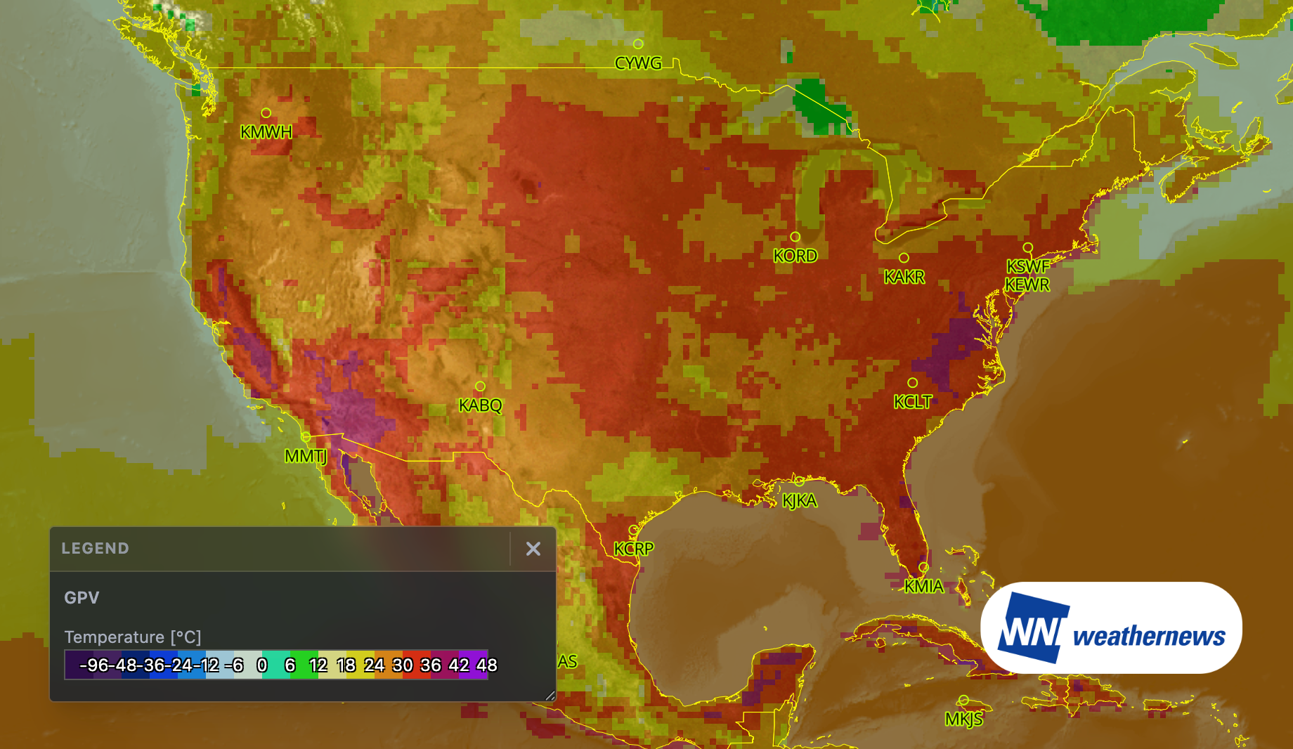
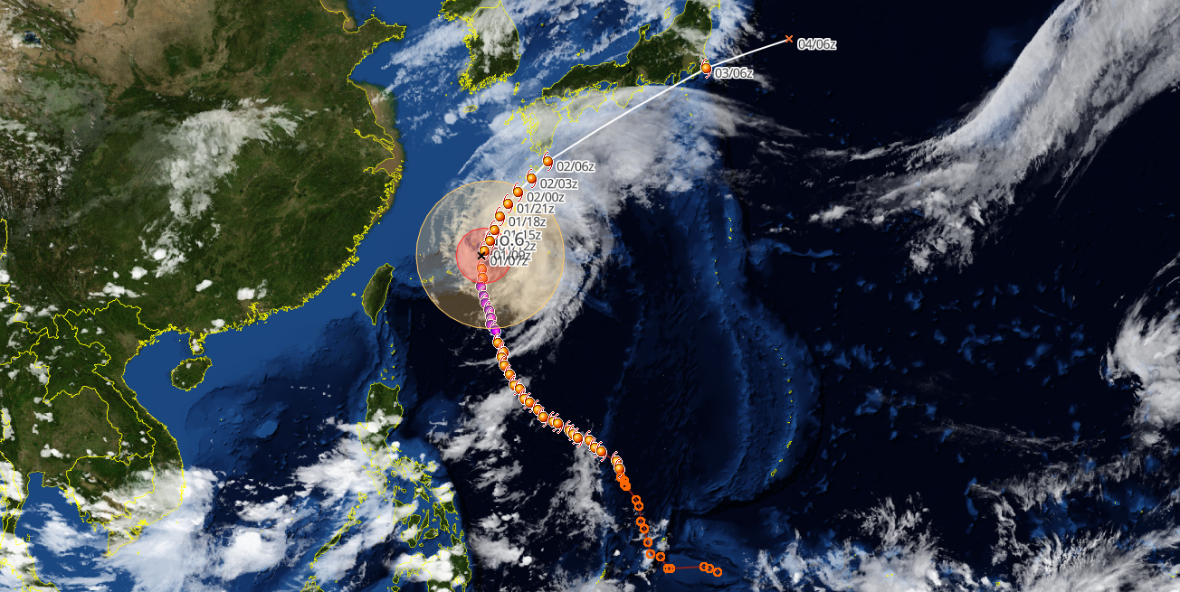
Visualizing Typhoon Tracking: Upgrading Operations with SkyAviators
In addition to the JMA track forecasts, SkyAviators integrates predictions from WNI models and the Joint Typhoon Warning Center (JTWC). This side-by-side comparison highlights model differences and uncertainties, making it easier to assess the situation as a storm approaches.
The platform also includes satellite and radar overlays, plus automated airport alerts based on custom thresholds. Combined with detailed PDF briefings from our meteorologists, SkyAviators gives dispatch and operations teams the tools they need to evaluate risks and make informed decisions.