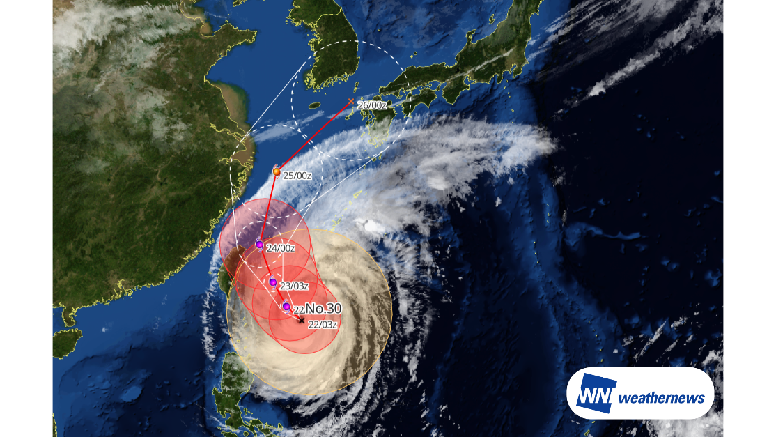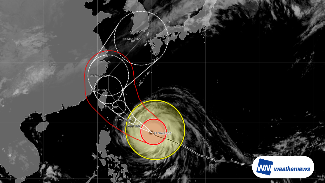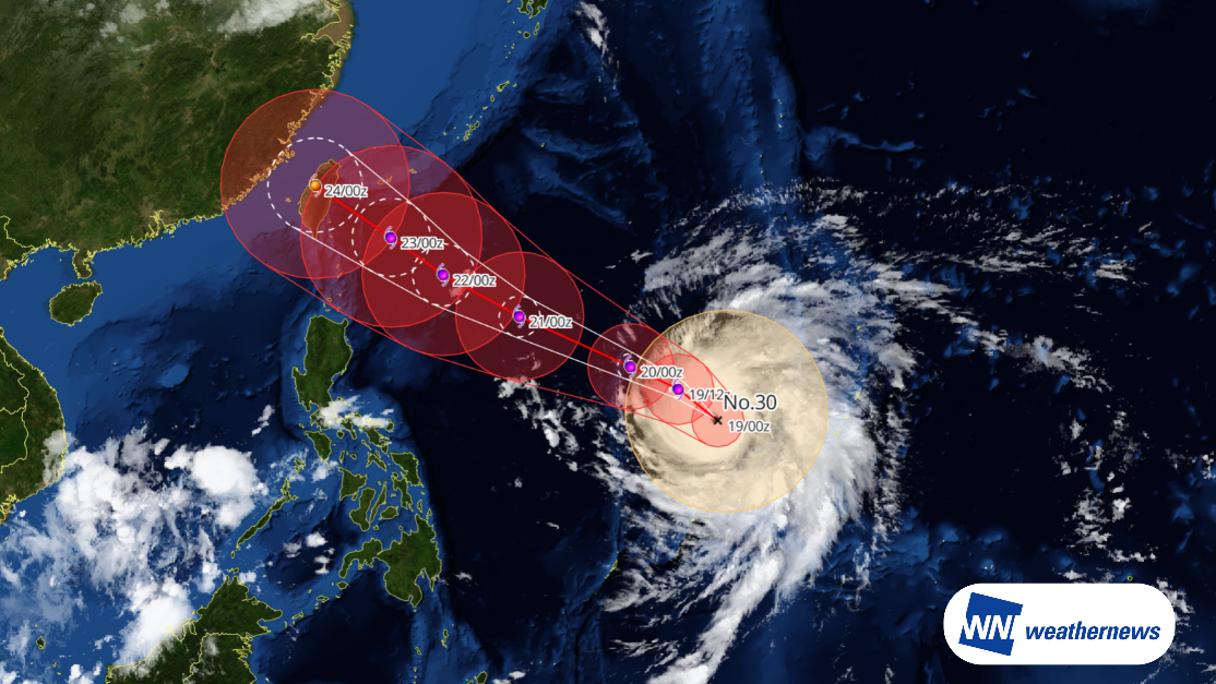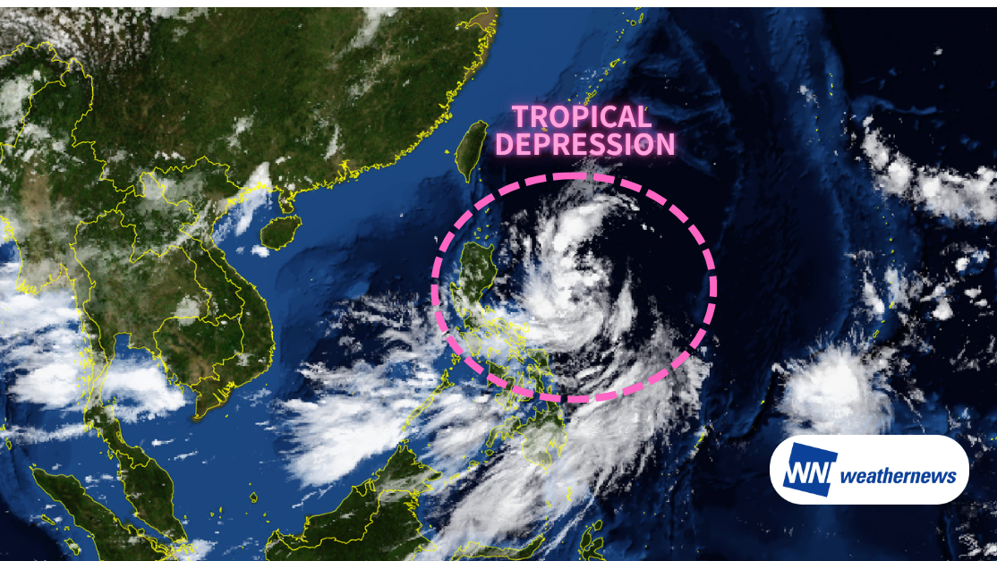
According to the latest weather information at 00:00 UTC on 23 July, a tropical depression has formed over the western Pacific east of the Philippines. The system is expected to strengthen as it moves northwest, with the potential to approach and make landfall along the coast of Guangdong Province in southeastern China. Winds and rainfall are expected to increase across the Pearl River Delta region, including Hong Kong and Macau.
Current Status (00Z, July 23)
The center is located near 16.0°N, 129.8°E — roughly 900 km north-northeast of Manila — with a central pressure of 1003 hPa. The system is tracking northwest at approximately 12 knots while gradually intensifying.
Forecast Track & Impacts
After passing near the northern Philippines, the depression is expected to enter the South China Sea and continue on a northwest track. Current forecasts place landfall along the Guangdong coast in the pre-dawn hours (local time) on Sunday, July 26.
Beyond the Guangdong coast itself, the broader Pearl River Delta region — including Hong Kong and Macao — faces the potential for widespread impacts from strong winds and heavy rainfall.
Airport Wind Forecasts
Hong Kong International Airport (VHHH / HKG)
- Sustained winds forecast to exceed 25 kt from 1800Z on July 25, peaking near 29 kt sustained / 44 kt gusts around 0000Z on July 26.
- Conditions expected to ease below 20 kt after 0000Z on July 27.
Shenzhen Bao'an International Airport (ZGSZ / SZX)
- Sustained winds of 21 kt with gusts to 31 kt expected from 1800Z on July 25, easing below 20 kt after 0600Z on July 26.
Zhuhai Jinwan Airport (ZGSD / ZUH)
- Winds forecast to exceed 20 kt from 0000Z on July 26, peaking at 30 kt sustained / 45 kt gusts between 0600Z–1200Z on July 26.
- Conditions will ease after 0000Z on July 27.
Macau International Airport (VMMC / MFM)
- Sustained winds around 24 kt from 1800Z on July 25 through 0600Z on July 26, easing below 20 kt thereafter.
Important Note
This system is still in its early stages as a tropical depression, and meaningful uncertainty remains in both its intensity development and precise track. The situation can evolve quickly — please continue monitoring the latest official forecasts.
For more timely and detailed tropical and typhoon tracking, SkyAviators — our decision-support platform built for aviation operators — provides up-to-the-minute guidance. Learn more about "SkyAviators"
Disclaimer: This article is provided for reference purposes only. Specific operational support for individual flights is available exclusively through our paid aviation services. Weathernews Inc. accepts no responsibility for any operational decisions made based on this article, or for any losses or damages arising therefrom.