Current Situation
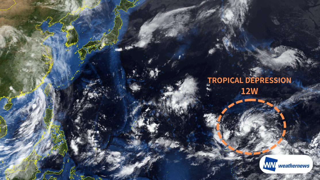
According to the Japan Meteorological Agency (JMA), as of 12:00 JST on 27 July, Tropical Depression 12W was located near the Midway Islands (13.1°N, 177.6°E), moving westward at 13 kt. The system has a central pressure of 1002 hPa, maximum sustained winds of 30 kt, and gusts up to 45 kt. It is forecast to strengthen into a tropical storm within the next 12 hours.
If the system develops into a typhoon, it will be named Dolphin and become the 13th named typhoon of the 2026 Pacific typhoon season.
Forecast Track and Intensity
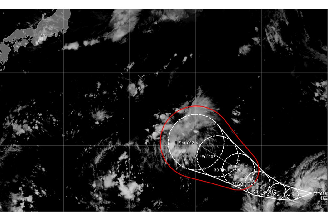
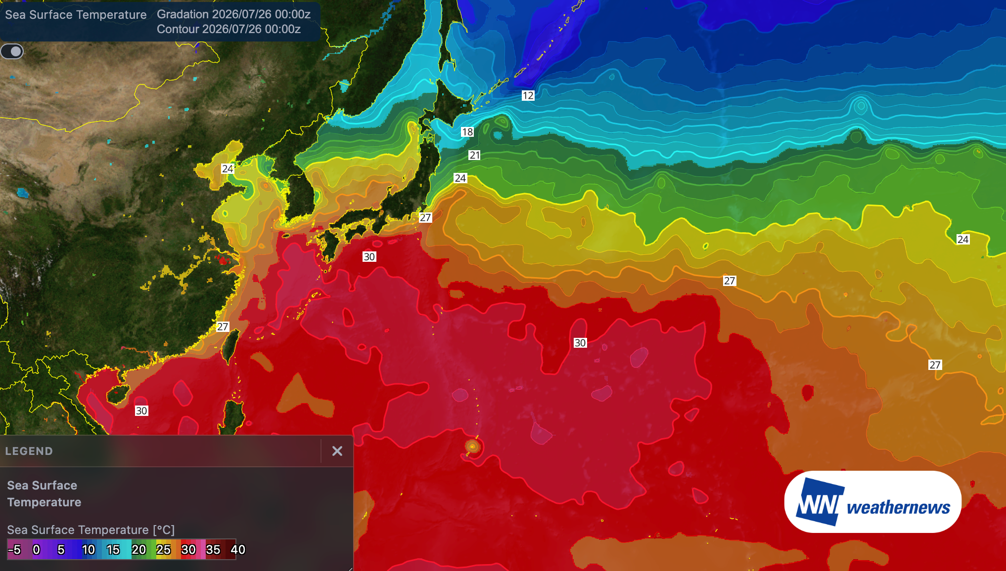
Tropical Depression 12W is expected to continue moving west for the next 24 hours before turning northwest. The system is forecast to pass over waters with sea surface temperatures around 30°C—approximately 2°C above normal, providing highly favorable conditions for rapid intensification.
The system is forecast to reach maximum sustained winds of 85 kt near Wake Island by the 30th.
Beyond the current forecast period, it is projected to continue moving northwest and could approach Japan in early August.
A Note on Uncertainty
Considerable uncertainty remains regarding 12W's precise track and rate of intensification. The situation may evolve quickly — please monitor the latest official forecasts as conditions develop.
For more timely and detailed information on typhoons and tropical disturbances, please visit SkyAviators, the aviation decision-support tool for airline operators. Learn more about "SkyAviators"
Disclaimer
This article is provided for general reference only. Specific operational support for individual flights is available exclusively through our paid services for aviation operators. Weathernews Inc. accepts no liability for any operational decisions made based on this article, nor for any resulting losses or damages.