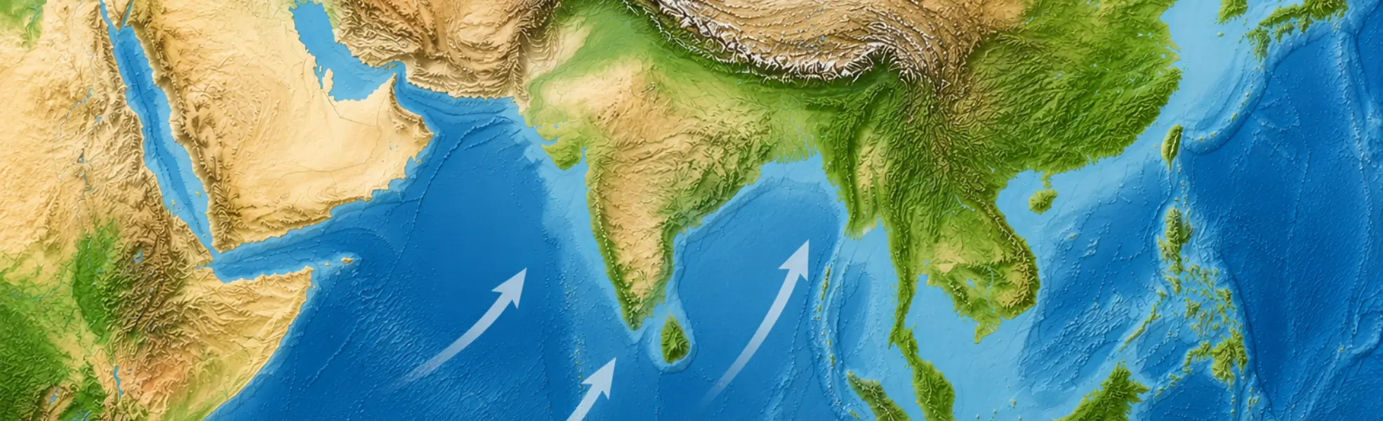
The 2026 Indian Ocean Southwest Monsoon season is expected to be weaker than normal overall, amid forecast El Niño conditions and a positive Indian Ocean Dipole event. With the potential for both a delayed onset and an earlier-than-normal withdrawal, rainfall across the Indian subcontinent is projected to remain below average.
Overview
| Item | Forecast |
|---|---|
| Monsoon Strength | Weaker than normal throughout the season |
| Onset Timing | Near normal or delayed (late May to early June, later than last year) |
| Withdrawal Timing | Near normal or earlier than normal (likely ending by mid-September, similar to last year) |
According to the India Meteorological Department announcement issued on April 13, total rainfall across India during the 2026 monsoon season (June–September) is forecast at 92% of the long-term average, indicating below-normal precipitation. Rainfall Probability Forecast:
| Much Below Normal | Below Normal | Near Normal | Above Normal | Much Above Normal |
|---|---|---|---|---|
| 35% | 31% | 27% | 6% | 1% |
Factors Behind the Weaker Monsoon Outlook
- Expected Development of El Niño Based on forecasts from multiple global models, El Niño conditions are likely to develop during the monsoon season. This is expected to suppress convective activity over the eastern Indian Ocean and generate easterly wind anomalies across the basin, resulting in weaker-than-normal monsoon flow, particularly over the southern Arabian Sea.
- Positive Indian Ocean Dipole (IOD) Sea surface temperatures are forecast to remain near or below normal in the eastern Indian Ocean and above normal in the western Indian Ocean. Enhanced subsidence and anomalous high-pressure patterns over the eastern basin are expected to act against active monsoon development.
- Multi-Model Ensemble Forecast Multi-model ensemble guidance indicates stronger surface winds over the northern Arabian Sea and weaker winds over the southern sector throughout the June–September period, favoring the formation of anomalous anticyclonic circulation patterns. *Source: Copernicus Climate Change Service (C3S)
- Analog Year Comparison Comparisons with past years showing similar sea surface temperature (SST) patterns — including 2018, 2015, 2009, 2002, and 1997 — indicate that average monsoon wind speeds during June–September were below normal in all cases, suggesting a similar tendency this year.
Expected Onset and Withdrawal Timing
Onset (Near Normal or Delayed) While sea surface temperatures over the Arabian Sea are forecast to remain above normal in May, land surface temperatures from the Middle East to northern India are expected to stay near or below average. As a result, the land–sea thermal contrast may become weaker than usual, potentially leading to a near-normal or delayed monsoon onset.
Withdrawal (Near Normal or Earlier Than Normal) Higher-than-normal pressure is forecast to develop around the Arabian Peninsula in September, contributing to a weakening of monsoon activity. Historical analog years also show a tendency toward near-normal or earlier withdrawal, with the monsoon likely ending by mid-September.
Implications for Flight Operations Teams
・A reduction in widespread heavy rainfall and thunderstorm activity may lower the risk of large-scale monsoon-related delays and airport closures compared with normal years. ・Increased heat and dry conditions associated with reduced rainfall may raise the risk of dust, sand, and haze-related visibility deterioration, as well as reduced aircraft takeoff performance under high-temperature conditions. ・A delayed monsoon onset may prolong the influence of dry-season weather patterns, including thermal turbulence and localized convective activity. Additional localized weather-related operational impacts may also occur depending on regional conditions.