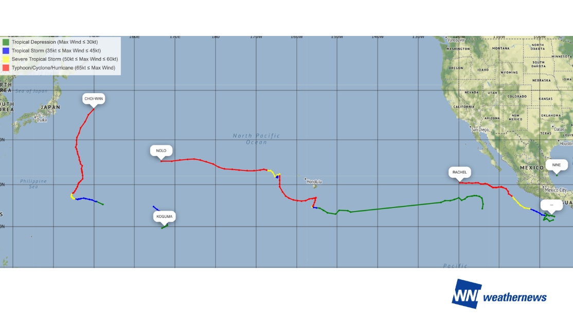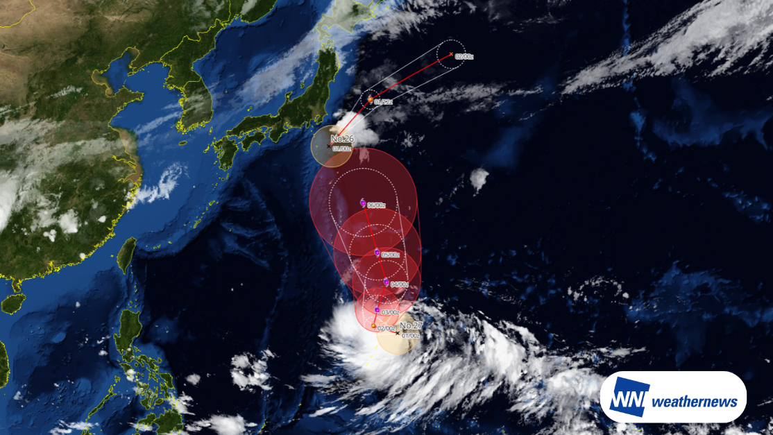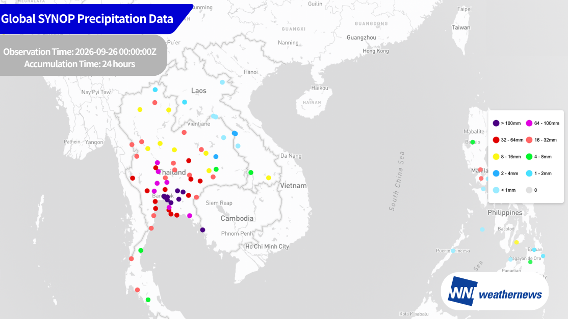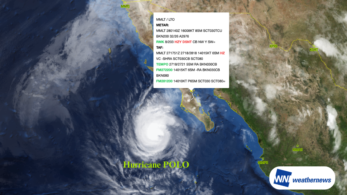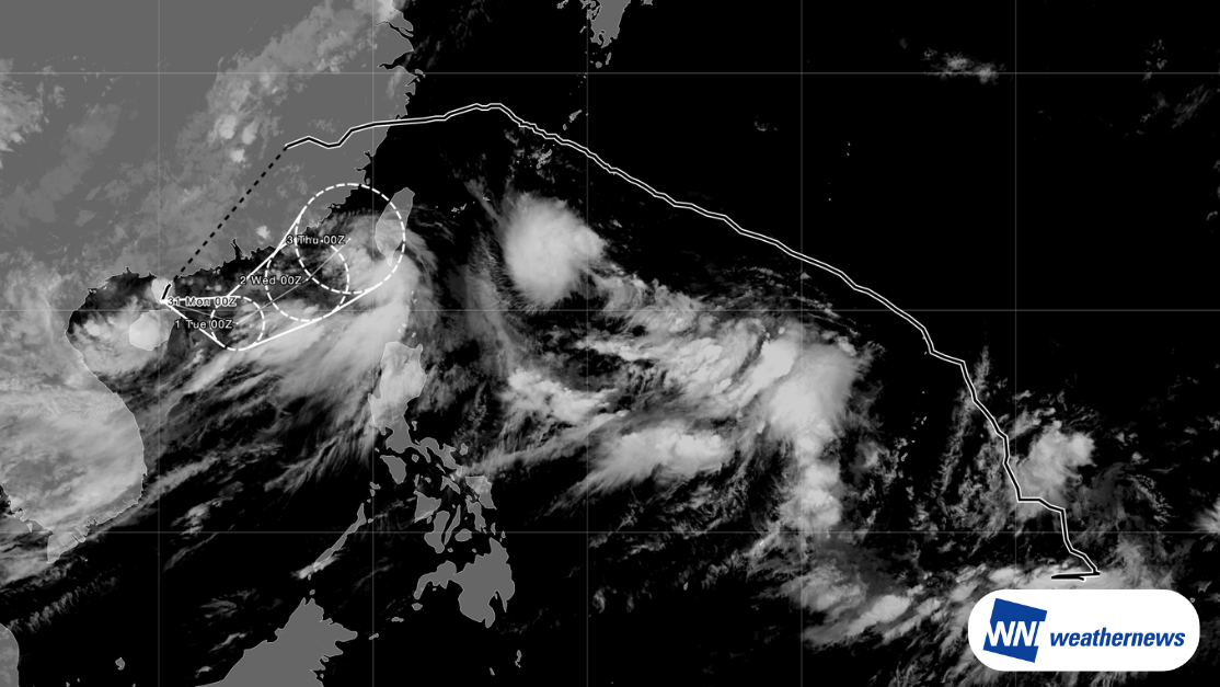
Past: Typhoon Track Record
At 08:05 China Standard Time on August 28, 2026, Typhoon Saudel (TY18) made landfall while still at typhoon intensity, near Kanmen Subdistrict, Yuhuan City, Taizhou, Zhejiang Province, China. This marked the third typhoon to make landfall at this exact location in 2026, following Typhoon Bavi (TY09) and Typhoon Dolphin (TY13).
At 09:10, it made a second landfall near Longwan District, Wenzhou, Zhejiang Province, and weakened into a tropical depression that same night. On the morning of August 30, it moved into the Guangxi Zhuang Autonomous Region and weakened further; at 17:00, the China Meteorological Administration discontinued its typhoon designation.
Current Situation: Tropical Depression
According to the Japan Meteorological Agency (JMA), in an advisory issued at 10:10 JST on August 31, 2026, the tropical depression was centered over southern China (20.4°N, 110.2°E) as of 09:00 that day, moving south-southwest at 8 kt. Central pressure is 996 hPa, with maximum sustained winds near the center of 30 kt and maximum gusts of 45 kt.
Outlook: Forecast Track
The system is expected to track northeastward across the South China Sea and redevelop into a typhoon by the morning of September 1. It will continue moving northeastward, reaching the northern South China Sea in the early hours of September 2 and the area near the Taiwan Strait in the early hours of September 3.
If this tropical depression regains typhoon strength, it will not be designated "Typhoon 24" — instead, it will be recognized as the revived Typhoon Saudel (TY18).
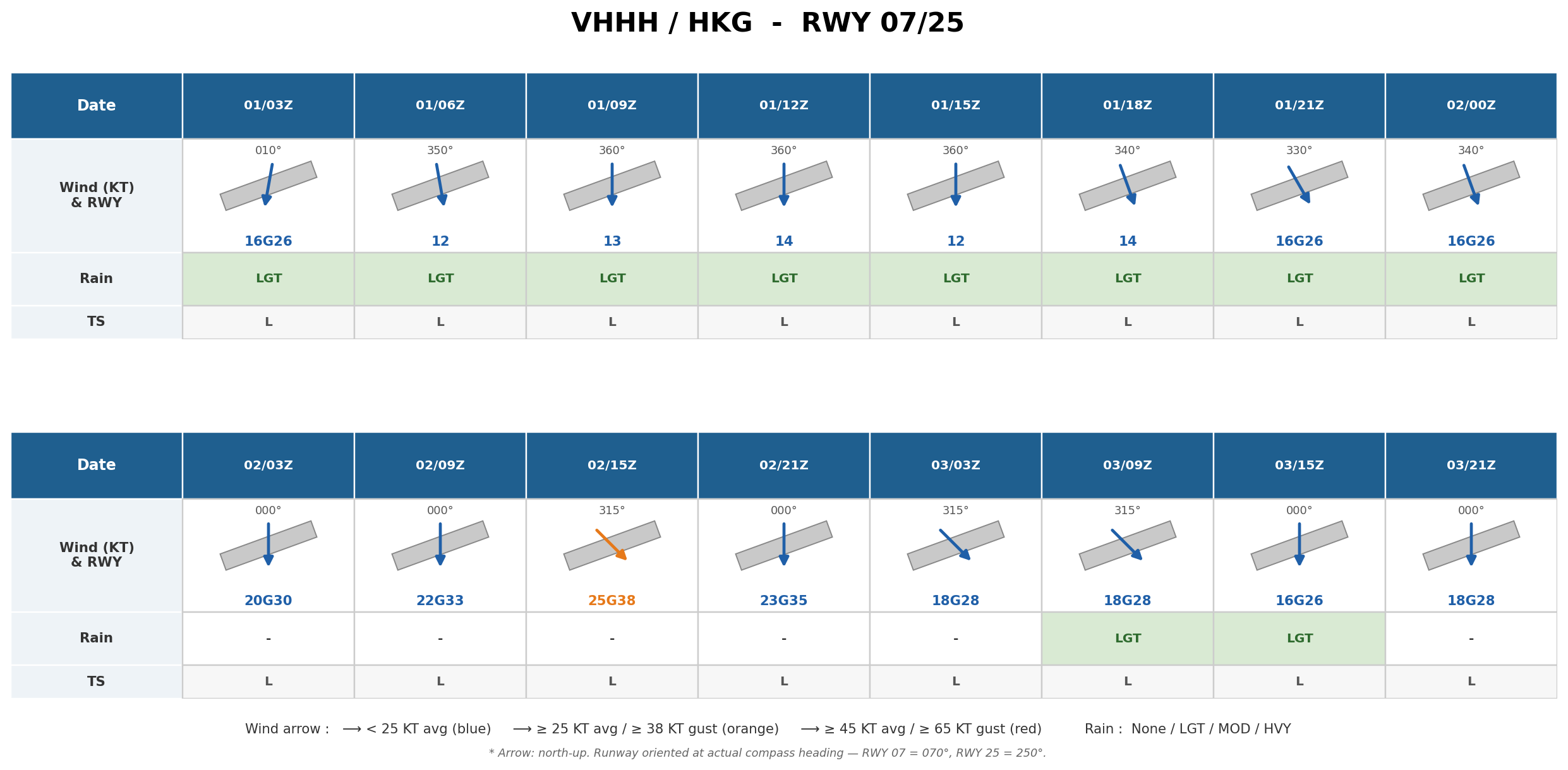
Hong Kong International Airport (VHHH/HKG) Forecast
From 03Z on the 2nd through 03Z on the 3rd, mean wind speeds are expected to exceed 20 kt. From 09Z on the 2nd, crosswind components on the runway are also expected to exceed 20 kt. After 03Z on the 3rd, mean wind speeds should drop below 20 kt, but runway crosswinds of 15 kt or higher remain possible, so continued caution is advised.
Looking Ahead
Typhoon track, intensity, and wind speed forecasts at the time of closest approach may change. Please continue to monitor the latest typhoon information, airport forecasts, and operational updates.
For more timely and detailed information on typhoons and tropical disturbances, please visit SkyAviators, the aviation decision-support tool for airline operators. Learn more about "SkyAviators"
Disclaimer
This article is provided for reference purposes only. Specific operational support information for individual flights is provided solely through Weathernews Inc.'s paid services for aviation operators. Weathernews Inc. accepts no responsibility for any operational decisions made based on this article, or for any resulting losses or damages.